Page content
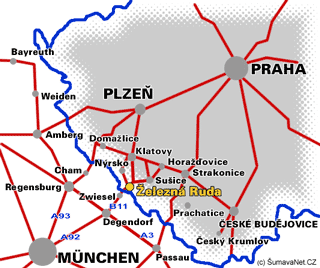
Basic Information
Altitude: 750 above sea level

Origins: founded in the 16th C
Number of inhabitants: 1622
Administrative area in hectares: 7979 ha
Settlements falling into the administrative area: Železná Ruda, Špičák, Hojsova Stráž, Alžbětín, Debrník, Pancíř
GPS: 49°8'14.761"N, 13°14'6.721"E


